Langdale Wellfield
The Langdale Wellfield Project is an SCRD water supply project that will support residents and commercial water users on the Langdale Water System, and potentially the Chapman Water System.
Why Langdale?
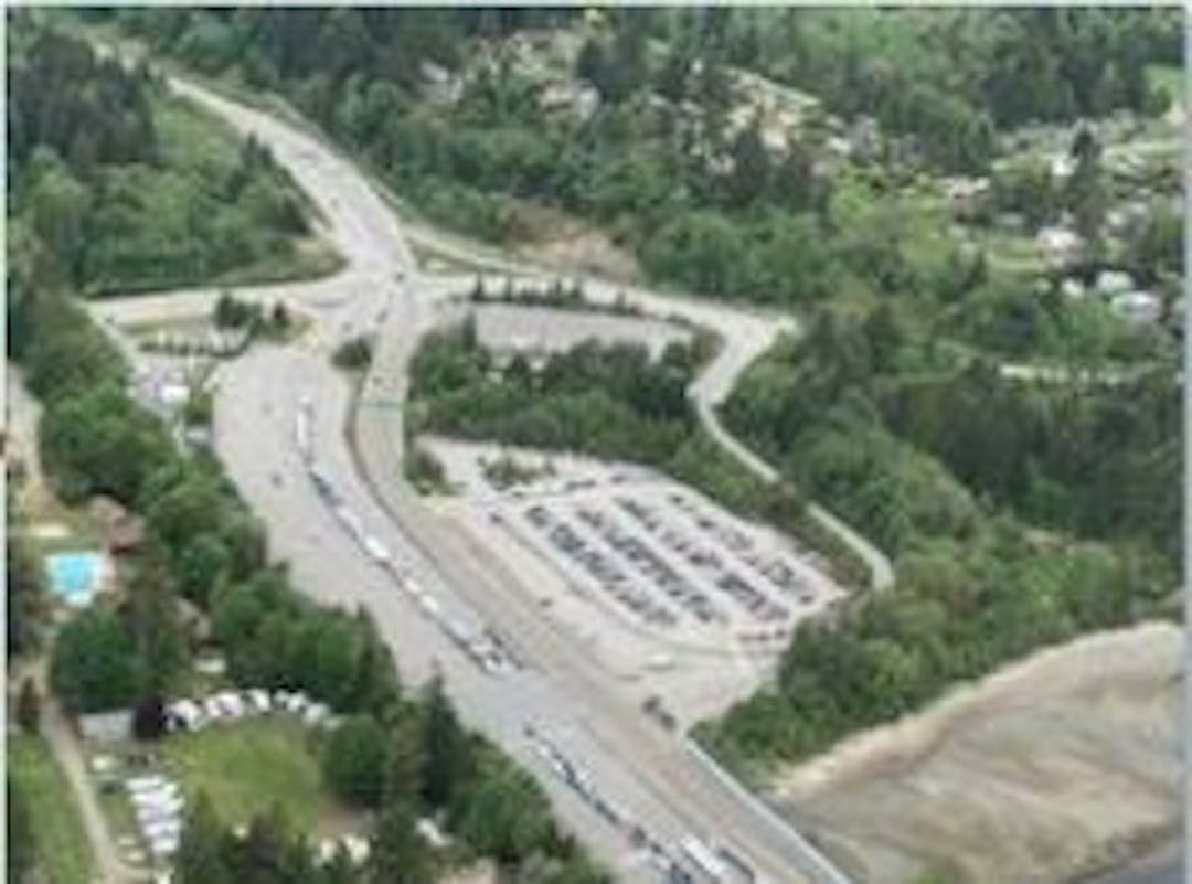
The SCRD operates a groundwater well in Electoral Area F (West Howe Sound), near the Langdale Ferry Terminal which services the Langdale area. In 2017, groundwater studies identified the potential to draw more groundwater from this aquifer source sustainably.
The Langdale Water System has the potential to be connected to the Chapman Water System. This will help increase water supply for residents on the Chapman Water System and provide redundancy to Langdale water customers.
What's Next?
In 2022, the SCRD drilled two new production-sized wells to confirm that this site is suitable for expansion and that the source meets water quality requirements. The results from the wells have been favourable.
Preliminary engineering and design report was presented to the SCRD's Committee of the Whole on January 11, 2024. The report can be found on the right panel of this page.
The SCRD submitted the applications for the groundwater licence and Crown Land Tenure from the province in January 2024 and the project notification submission to the Environmental Assessment Office was accepted on July 25, 2024. The SCRD is actively engaging with the Sḵwx̱wú7mesh Úxwumixw (Squamish Nation) and received approval to use the traditional language name, Ch́’ḵw’elhp Well Field for the project.
From October 17, 2025 to November 24, 2024 the SCRD is proceeding with an Alternative Approval Process for Langdale Wellfield Construction Project Loan Authorization Bylaw No. 777, 2025. The bylaw proposes to borrow up to $13,181,144 to be repaid over a 20-year term to fund the Langdale Wellfield Construction Project. Approval of the electors is required since the borrowing proposed is for a period longer than five years.
Hit the button in the right sidebar to learn more about the alternative approval process for this project.
Ask a Question to learn more!
What would you like to know about the Langdale Wellfield Project or the Alternative Approval Process?
Questions will be reviewed and posted with answers.
Custom
Documents and Reports
-
 Langdale Wellfield Construction Project Alternative Approval Process
-
2024-JAN-11 CoW staff report Results Groundwater Investigation Phase 3 - Round 2 Langdale Wellfield Development.pdf (62.7 KB) (pdf)
-
Onsite Engineering Ltd. Technical Memorandum #5 Proposed Chapman Water System Improvements Overview dated January 4, 2024.pdf (3.32 MB) (pdf)
-
Langdale Wellfield Development - Public Presentation (8.69 MB) (pdf)